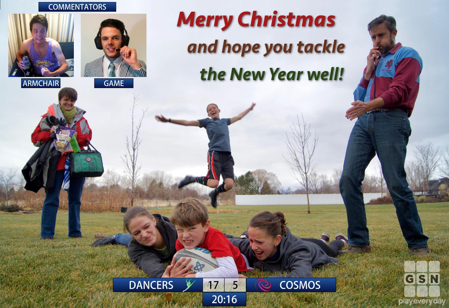

plus a couple more photos taken this festive season.
plus a couple more photos taken this festive season.
Thanksgiving is one of the American holidays that I really enjoy and wish there were equivalents in other cultures and countries – closest in some sense in Australia might have been the short-lived Family Day in Canberra, now Reconciliation Day – that at least focused on gratitude in the title, even if not in function. But not being tied to strong family traditions in how one celebrates it, Ari requested/desired/directed we use that time to see Something Significant™️. That turned out to be the Grand Canyon.
It was a reasonable drive of ~7 hours to base camp at Flagstaff, Arizona, giving us time to chat and listen to the now-mandatory-for-road-trips Cake‘s Comfort Eagle album. I’m also partial to Paul Simon’s Graceland for long trips.
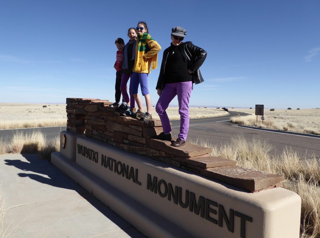
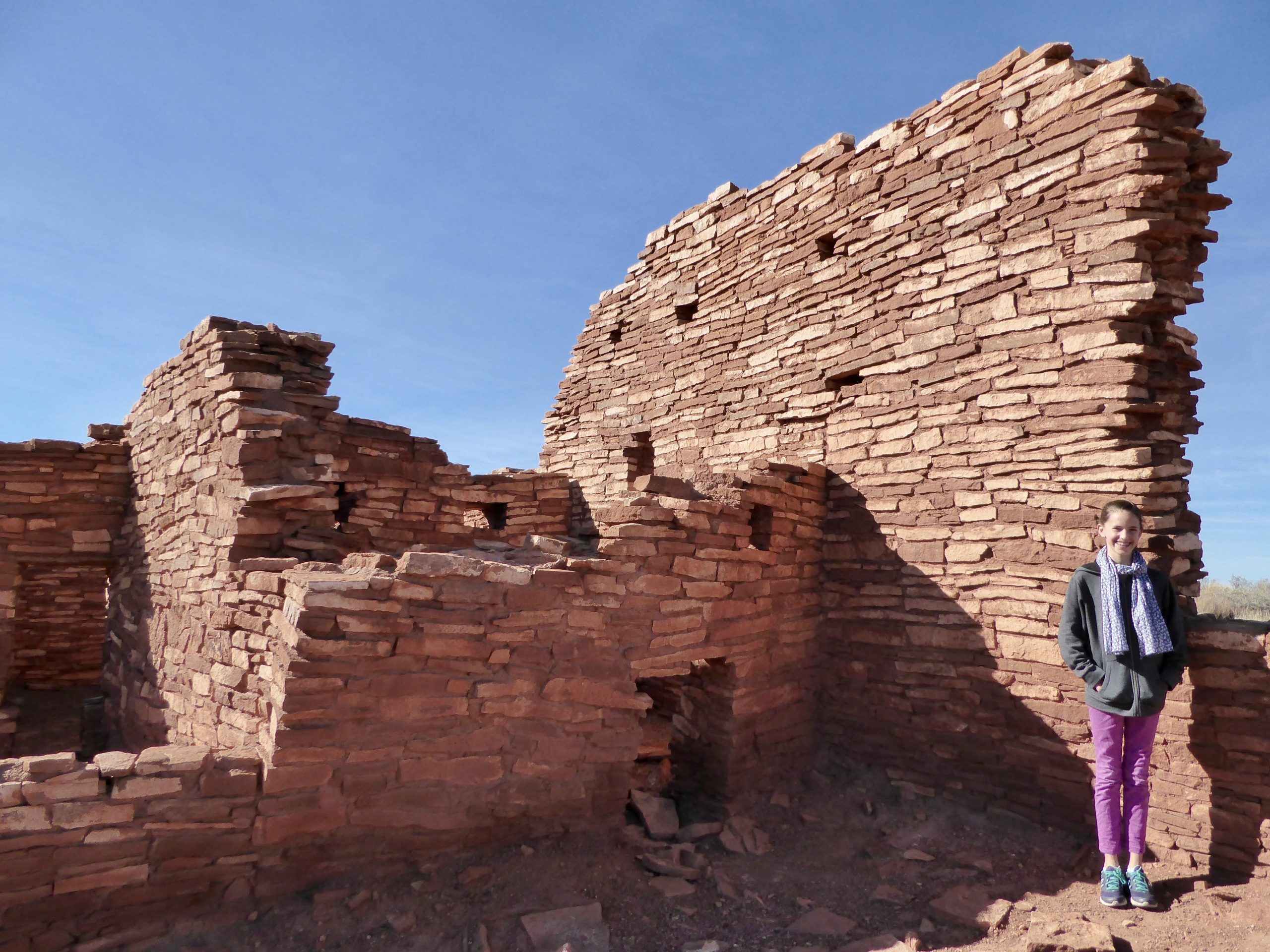
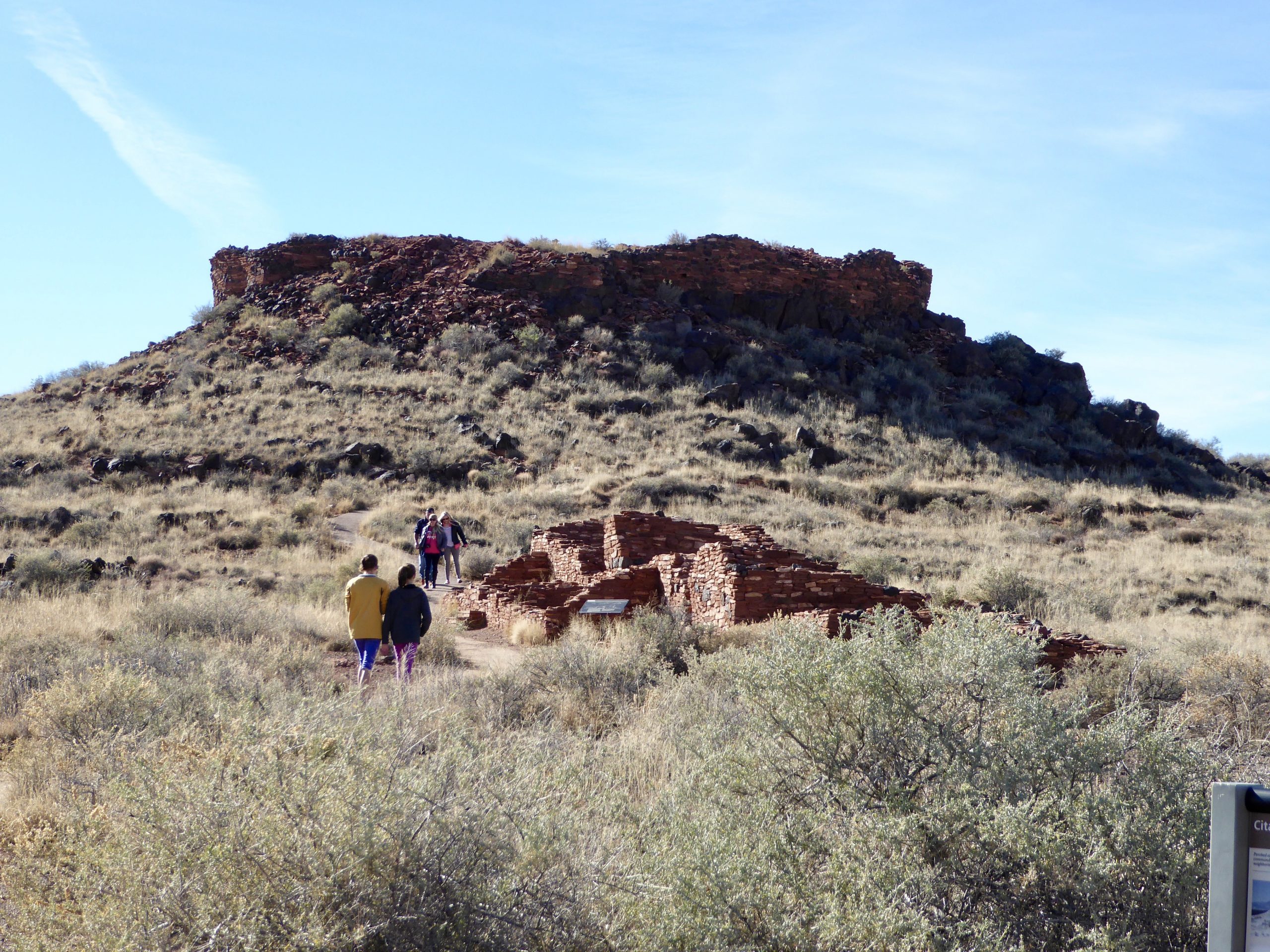
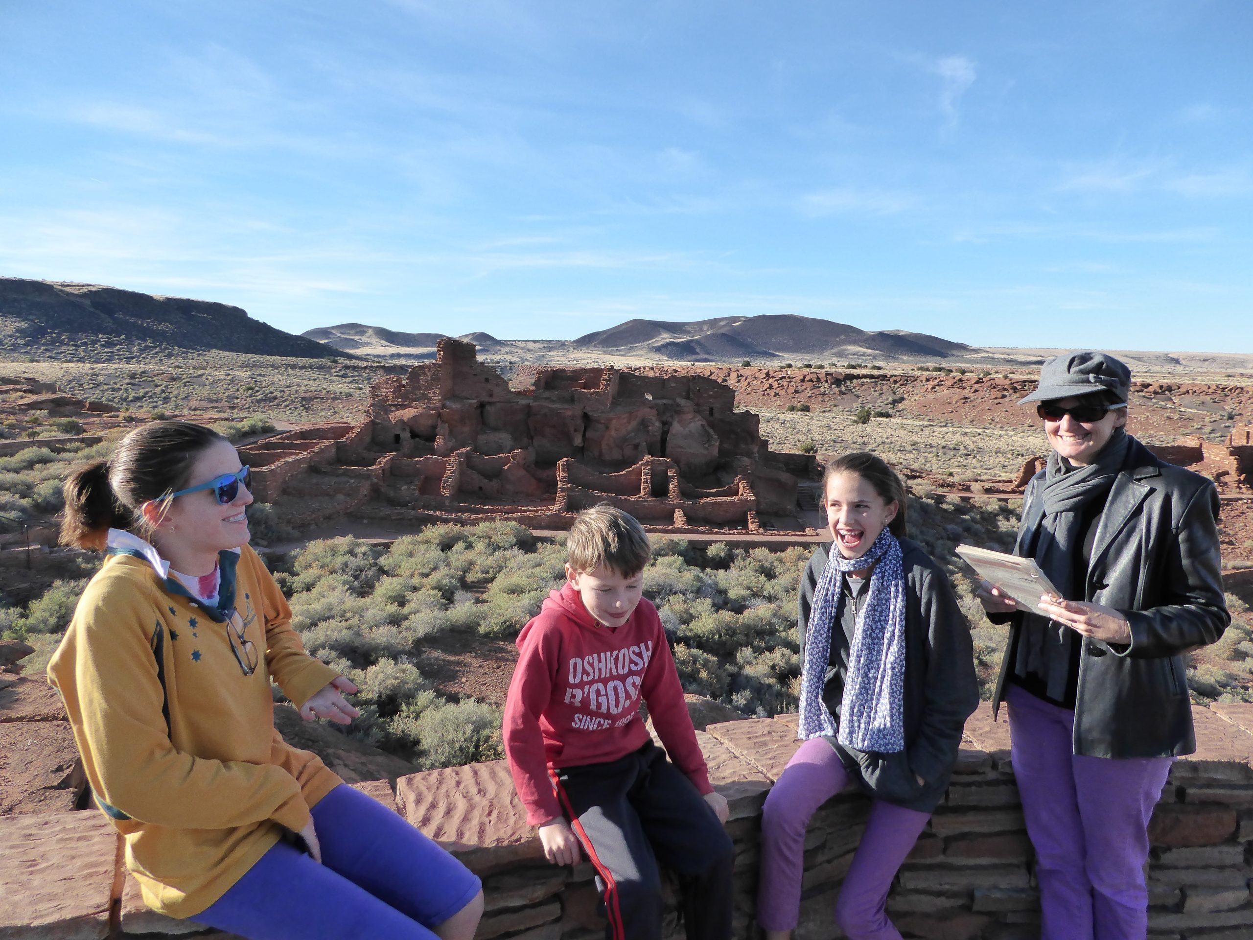
Before even getting to the Big Hole, there are plenty of other interesting sites to see in the area, including the Wupatki National Monument, which we visited the day before Thanksgiving. This place is full of Native American archaeological sites and a very interesting geological blowhole (with air continuously escaping from a cave system). There’s plenty to learn from a people who could live in such an environment, though it’s not a day-to-day existence I really envy.
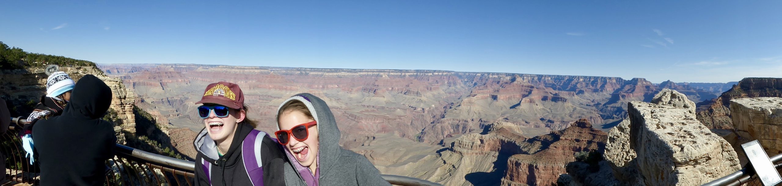
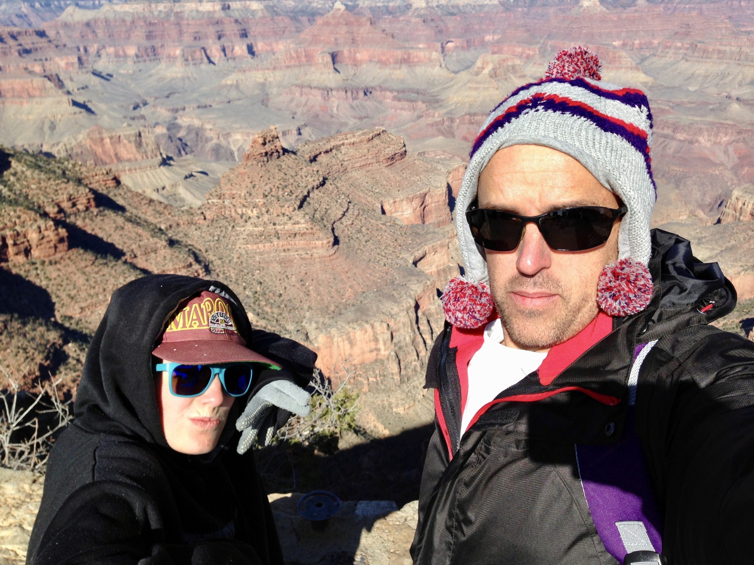
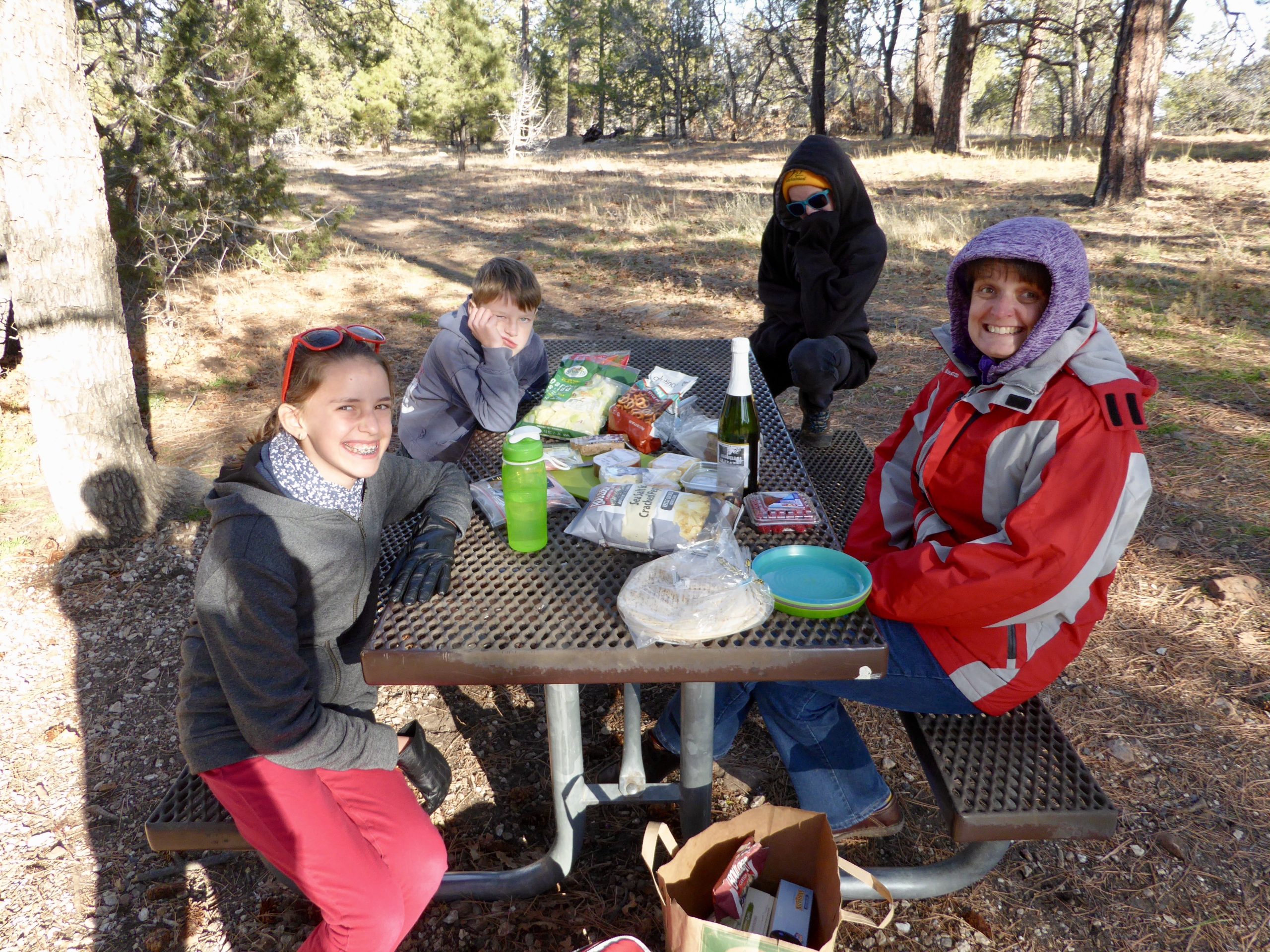
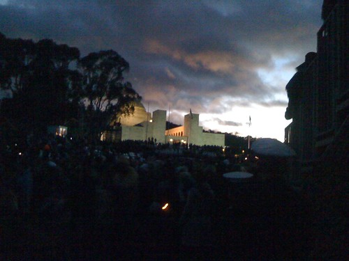
Thanksgiving Day itself saw a trip the South Rim of the Grand Canyon. Being from the Southern Hemisphere, I’m used to November being a time of warming weather. Despite the clear and sunny skies, it was definitely on the cooler side and one of the children kindly loaned me their beanie. Or placed it on my head for safe keeping. Sometimes it’s a fine line between receiving charity and being a functional hat stand.
Of course, travelling with Gaynor means no celebratory family dinners go unrequited and she, once again, found and organised some delicious comestibles to treat us. Another upside was, given the weather, no fridge was needed to keep the opened food from spoiling.
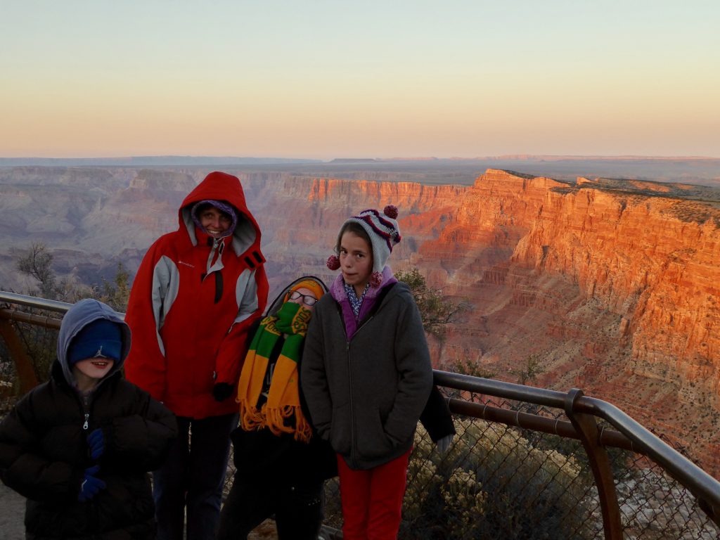
During the day we took in the various angles and sights along the South Rim (I mentioned it’s pretty sizeable right?) and we made our last stand on the far eastern portion as the sun was setting. Still cold.
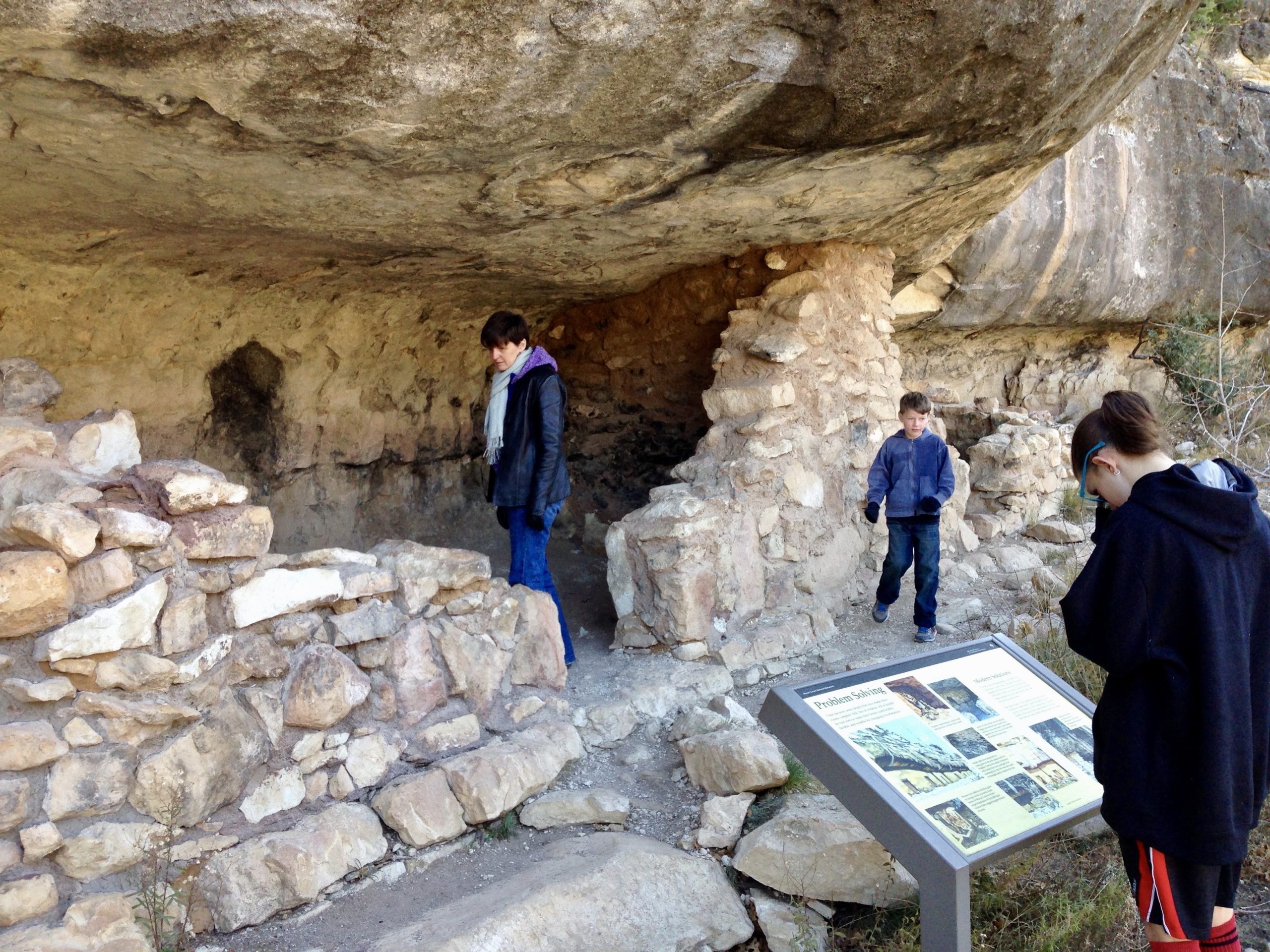
Before heading home the next day we managed a quick and informative visit to Walnut Canyon National Monument, a deep (110m) and fairly steep canyon featuring numerous abandoned dwellings in the cliffs from a pre-Columbian people. I understand they left the area due to the mobile phone coverage.
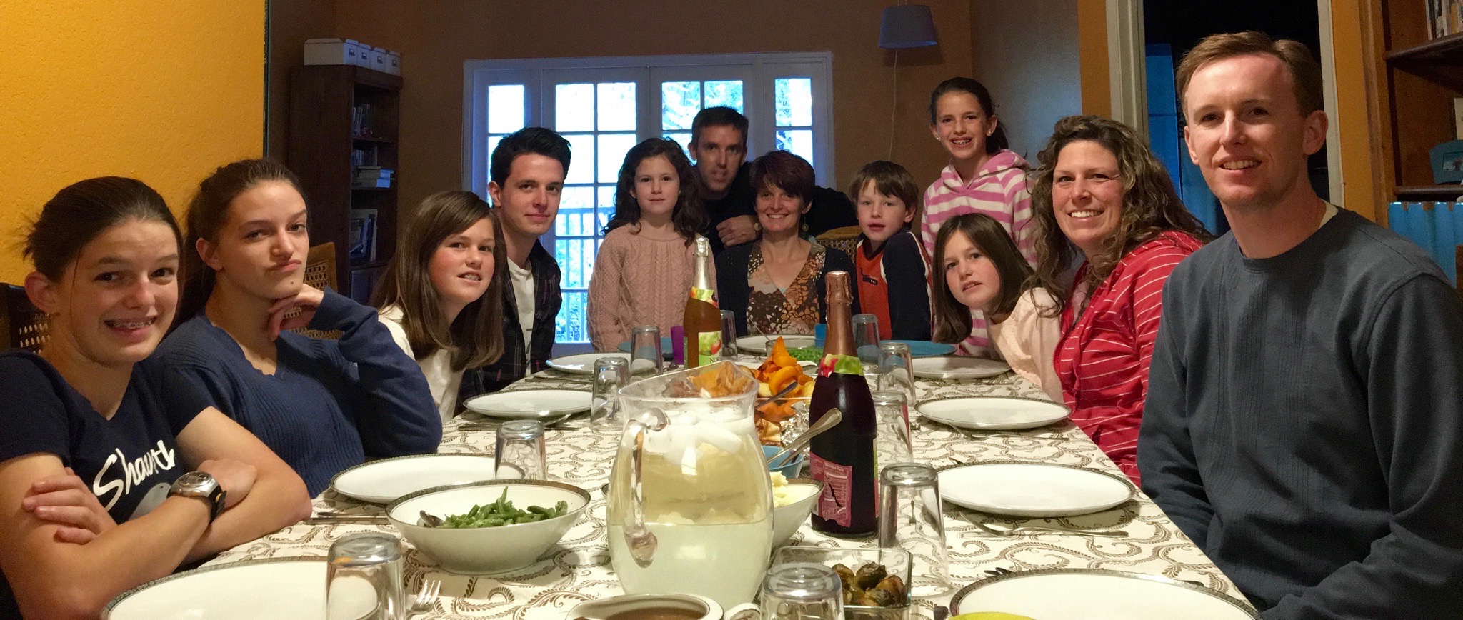
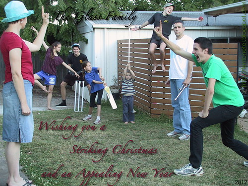
Part of the deal of moving back to the US was that Gaynor — who I had to do a lot of negotiating with — would get to see her children at least once a year. For those that we brought with us, that was never going to be a problem. For those that had their own lives already running in Australia, it would be more of a challenge. Josh & Mara flew over to spend some time with us from Thanksgiving through to Gaynor’s birthday in mid-January. It coincided with end-of-academic year and summer holidays for them, so it worked out well. Apart from the usual sparkling banter, we enjoyed Thanksgiving dinner with some family on the same continent …
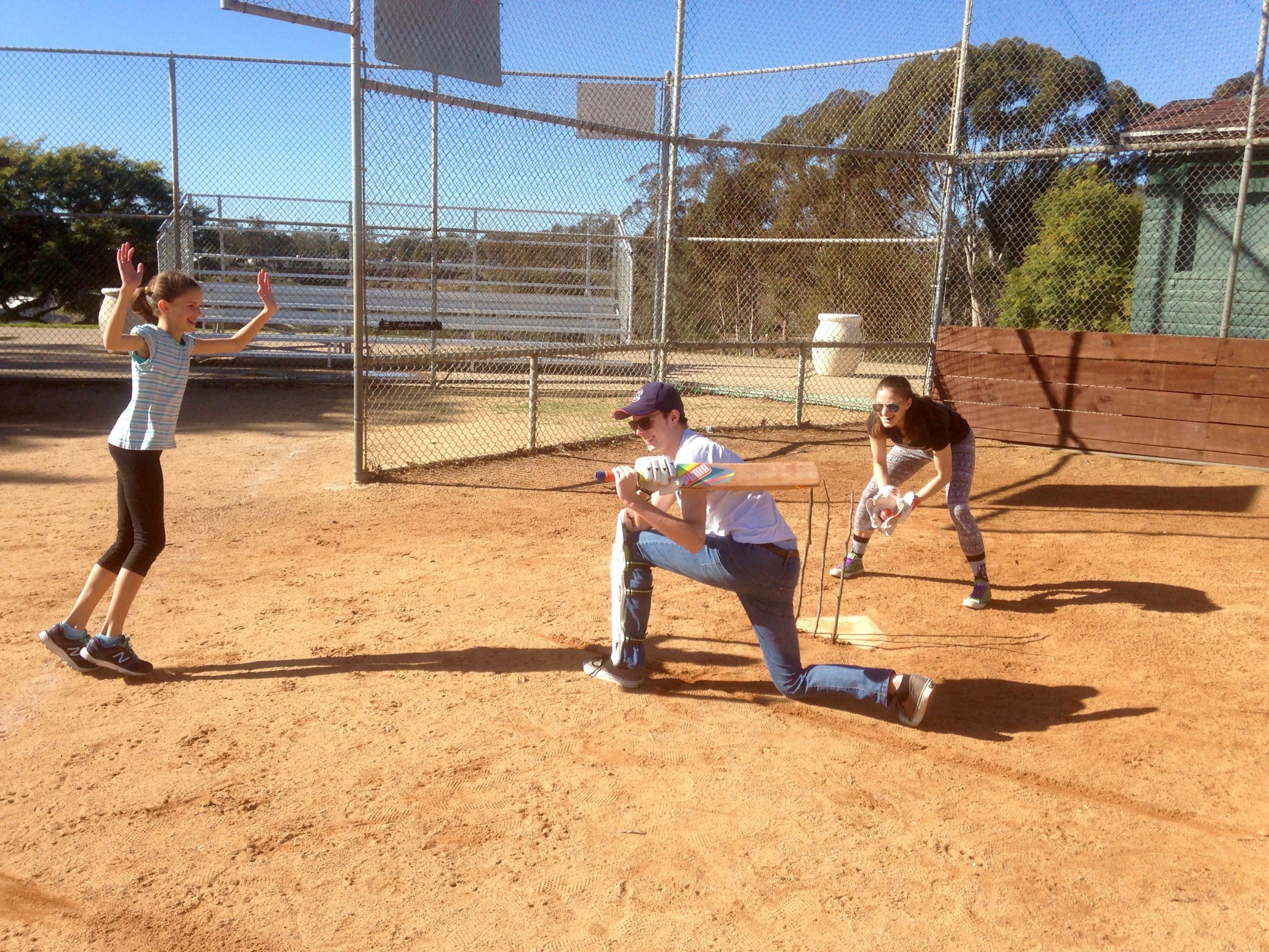
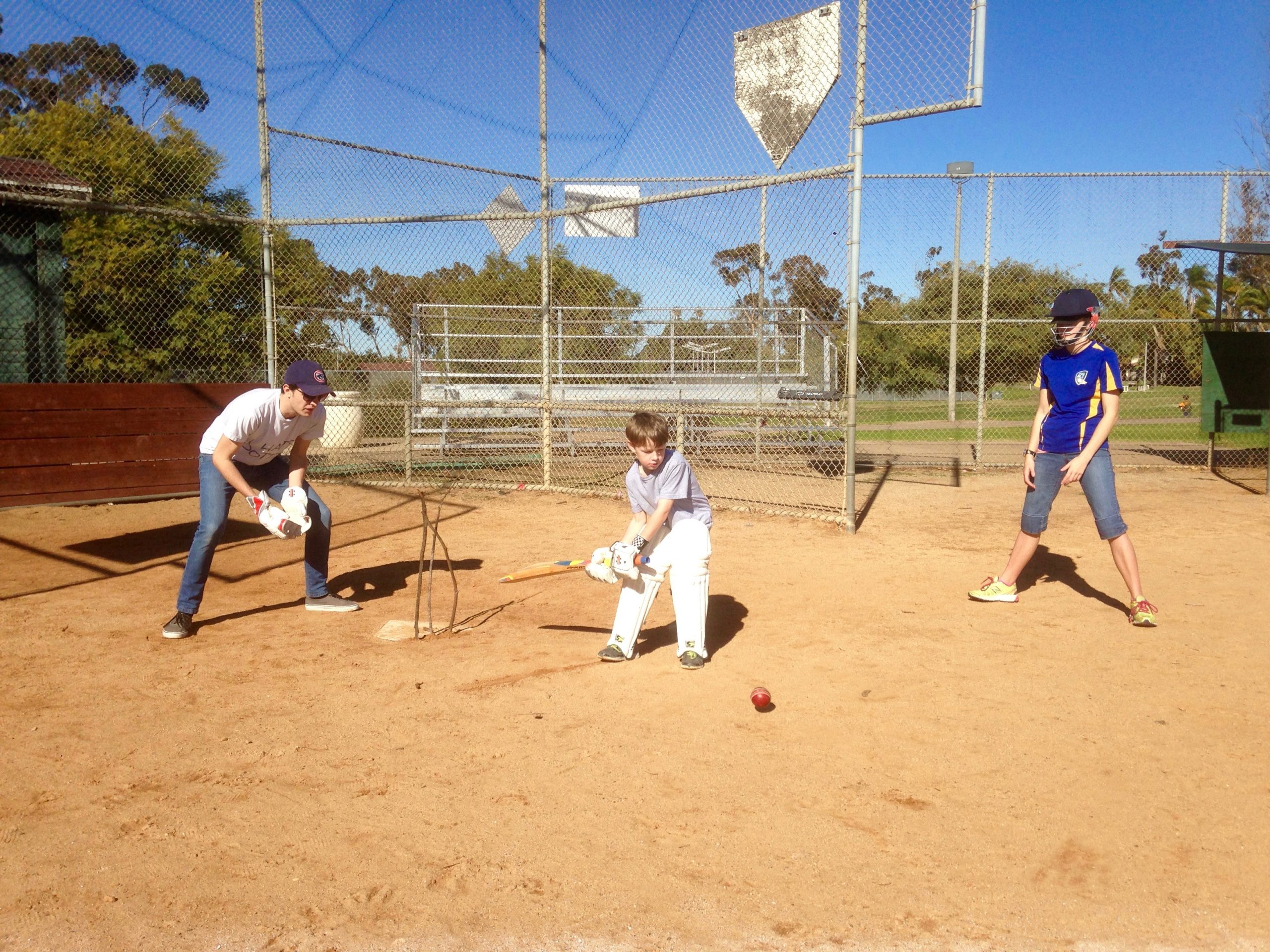
… played some cricket …
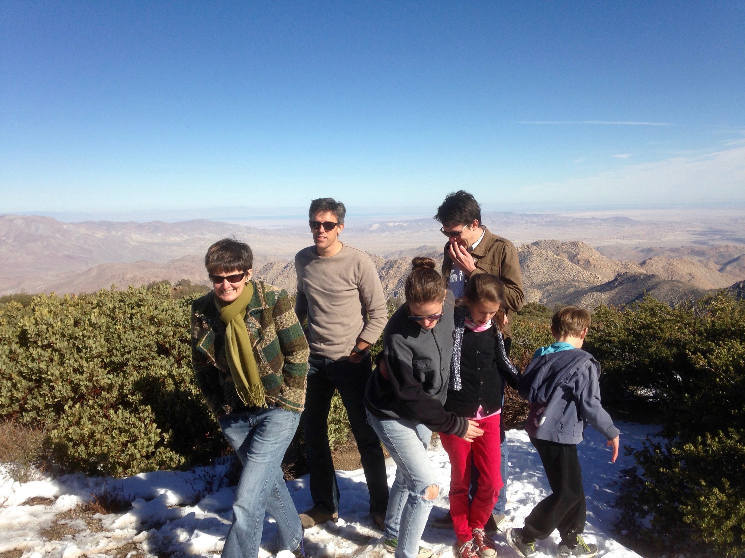
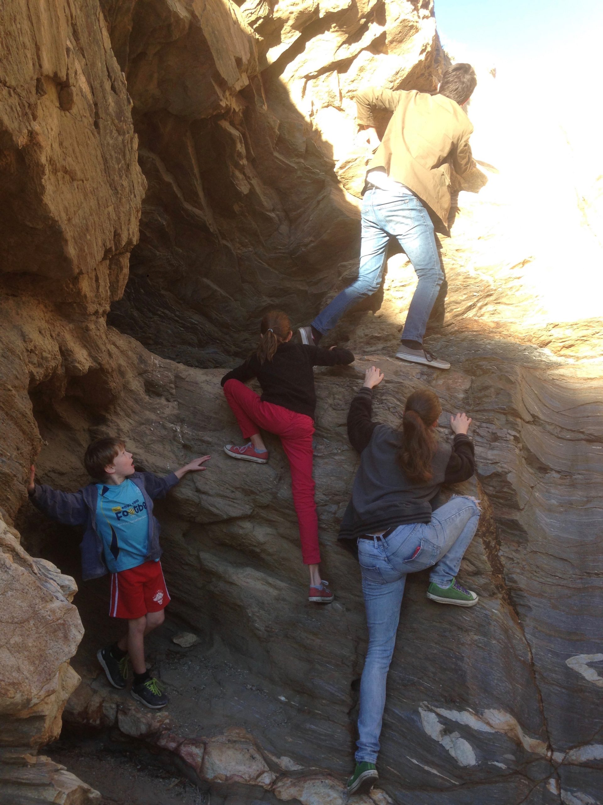
… enjoyed a tour of the Anza-Borrego Desert with friends …
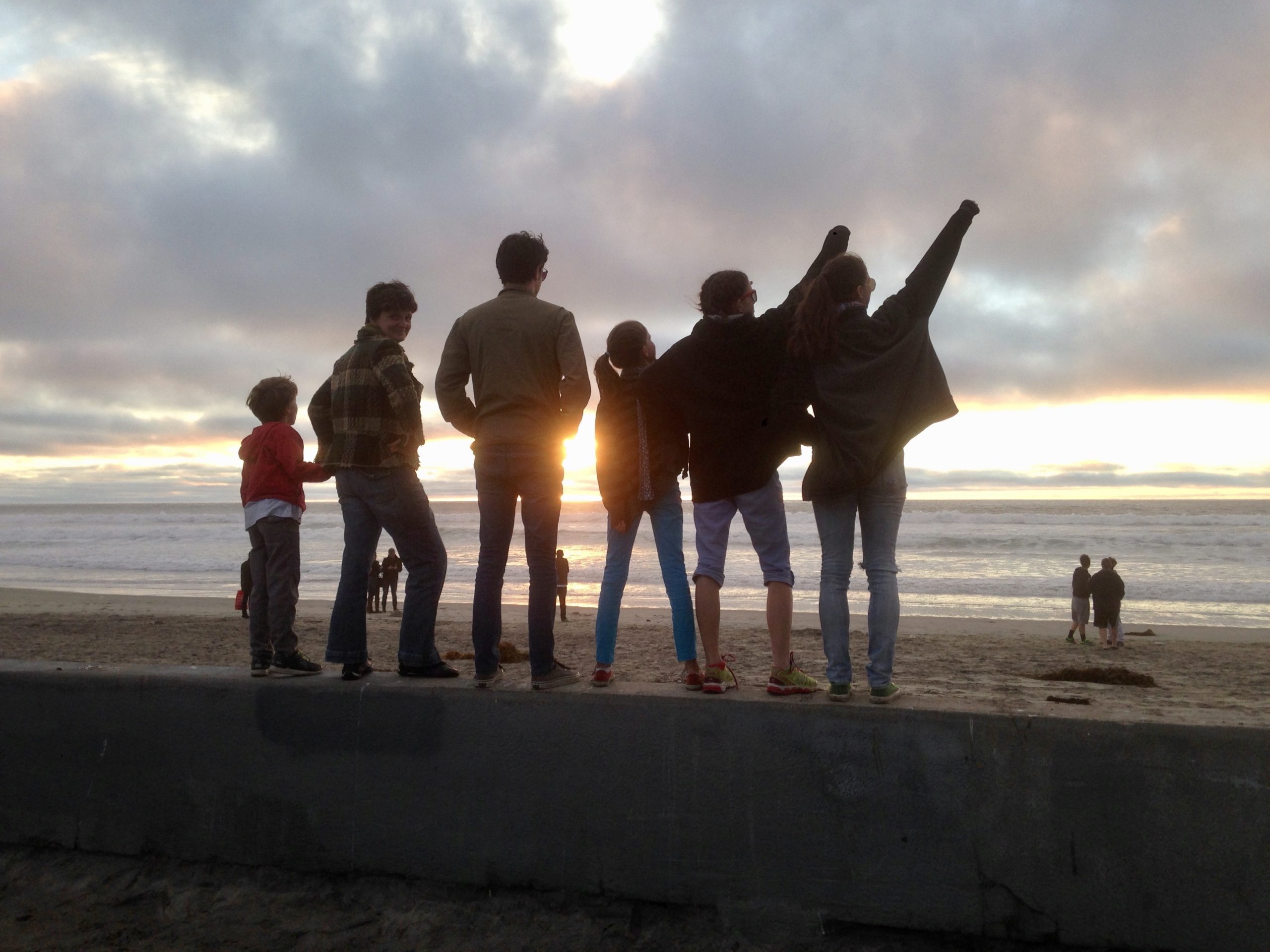
… and spent time together at the beach.
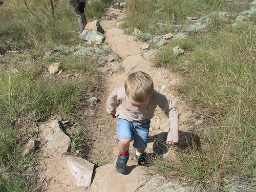
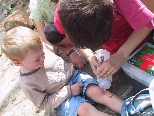
As the children get older finding time to do this together as a family does seem to become more difficult — independence is overrated right? But we still reserve most public holidays as family time and the recent Canberra Day holiday was no exception. Traditionally we’ve done many picnics — and with Gaynor organising the food this is hardly a poor option — but I wanted something a little more active so we decided on an adventure instead. Of course, with a three year old amongst the mix one’s adventures are a little more subdued than the word might suggest.
Nevertheless, since Canberra is situated among such natural beauty, it seemed a shame not to get more up close and personal. The only down note was that Joshua was unable to join us, being laid up with a head cold.


I also tried out a new GPS app on the iPhone which spits out a map and trail — and a KML file if you want to put it all into context on Google Earth.

